Existing vs As-Built Surveys – What’s the Difference?
128 City Rd, EC1V 2NX
+44 20 4615 4666
hello@linesurveying.uk
Laurel Hardwicke
February 20, 2026
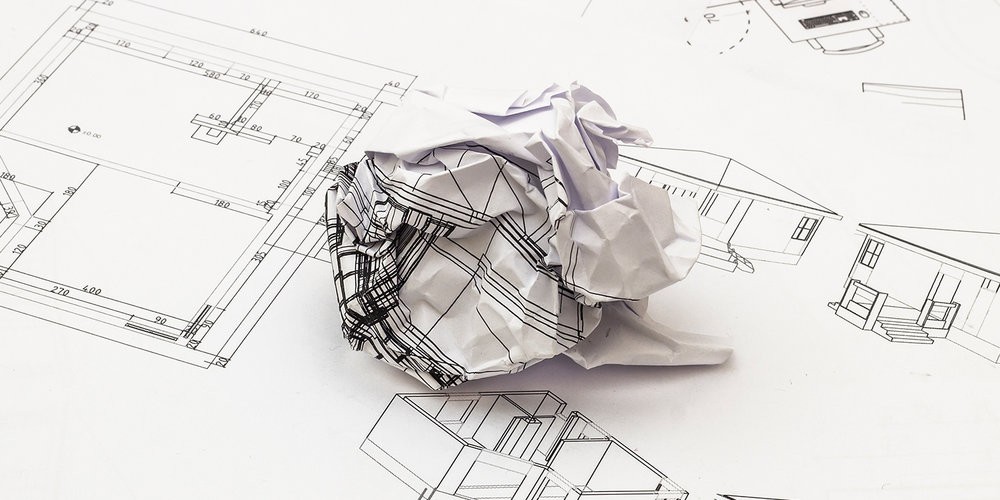
Architectural drawings form the foundation of any construction project. However, when those drawings are based on inaccurate or incomplete survey data, serious problems can follow. Even small measurement discrepancies can result in design clashes, programme delays and unexpected costs.
Poor survey data does not only affect drawings. It impacts planning approvals, structural design, drainage performance and on site coordination. Therefore, architects, developers and contractors must understand the risks associated with unreliable survey information.
At Line Surveying UK, we see first hand how accurate survey data prevents avoidable drawing errors across projects in London and the UK.
One of the most common issues caused by poor survey data is incorrect floor level information.
If finished floor levels are recorded inaccurately, staircase design, threshold details and drainage systems may not align with real site conditions. As a result, contractors often need to make adjustments during construction, which increases cost and disrupts the programme.
Accurate level surveys ensure that vertical relationships between spaces are correct from the outset.
Incorrect wall positions frequently create downstream problems.
If an existing wall is recorded slightly out of position, new structural elements may not fit as intended. Steelwork, beams and partitions can clash with actual building geometry.
This risk is particularly high in older buildings, where layouts are rarely perfectly square. Precise measured surveys are therefore essential when working on refurbishment or heritage projects.
When window and door openings are recorded inaccurately, manufactured components may not fit during installation.
This often leads to delays while adjustments are made on site. In some cases, elements must be re fabricated, which increases cost.
Detailed measured building surveys capture exact opening sizes and positions, reducing this risk significantly.
Boundary errors can create both legal and planning complications.
If site boundaries are drawn incorrectly, proposed extensions or new structures may encroach on neighbouring land. In addition, planning authorities may question the accuracy of submitted drawings.
Reliable topographical and measured surveys ensure that boundaries are clearly defined and defensible.
Poor survey information sometimes omits visible service features such as drainage covers, inspection chambers and service access points.
When these elements are not documented correctly, new designs may conflict with existing infrastructure. Consequently, redesign work becomes necessary during construction.
Comprehensive survey data records these features accurately and reduces unexpected clashes.
Drainage design depends heavily on accurate level data.
If spot levels or contours are incorrect, water flow calculations may fail. This can lead to ponding, non compliant systems or costly remedial works.
By contrast, accurate topographical surveys provide dependable level information that supports effective drainage planning.
Architectural drawings rarely exist in isolation. Structural engineers, MEP consultants and contractors all rely on the same base data.
When survey information is inconsistent, coordination suffers. For example, structural supports may conflict with architectural layouts, or service routes may clash with ceiling heights.
Accurate survey data provides a single, reliable reference point for all consultants involved.
Although survey fees represent a small proportion of overall project budgets, inaccurate data can result in significant financial impact.
Common consequences include:
Design revisions
Programme delays
Re fabrication of components
Increased labour costs
Planning resubmissions
Investing in accurate survey data at the beginning of a project reduces these risks and protects the overall budget.
Professional measured building surveys and topographical surveys capture precise dimensions, levels and site features.
Modern technology such as 3D laser scanning and total station surveying improves positional accuracy significantly. As a result, architectural drawings reflect real world conditions rather than assumptions.
Accurate data enables architects to design with confidence and contractors to build efficiently.
Line Surveying UK provides reliable and precise survey data for architectural practices across London and the UK.
Our services include measured building surveys, topographical surveys and 3D laser scanning. All outputs integrate seamlessly into AutoCAD and Revit workflows.
By delivering accurate data from the outset, we help prevent the common drawing errors that slow projects down and increase costs.
Yes. Even small dimensional errors can affect structural alignment, drainage performance and component installation.
In most cases, yes. Refurbishment projects often involve irregular geometry that requires precise measurement.
When carried out correctly, professional surveys achieve high positional accuracy suitable for architectural and engineering design.
If you are starting a design project, accurate survey data can prevent costly drawing errors and improve coordination.
Contact Line Surveying UK to discuss your project and receive reliable survey information tailored to your requirements.
We use cookies to improve your experience on our site. By using our site, you consent to cookies.
Manage your cookie preferences below:
Essential cookies enable basic functions and are necessary for the proper function of the website.
These cookies are needed for adding comments on this website.
Statistics cookies collect information anonymously. This information helps us understand how visitors use our website.
Google Analytics is a powerful tool that tracks and analyzes website traffic for informed marketing decisions.
Service URL: policies.google.com (opens in a new window)
You can find more information in our Cookie Policy and .